
Torgny’s Heights: Walking the Gaume’s Limestone Backbone
From limestone plateaus to hidden valleys, these Gaume hills bear villages that tell a different story of land shaped by stone and time.
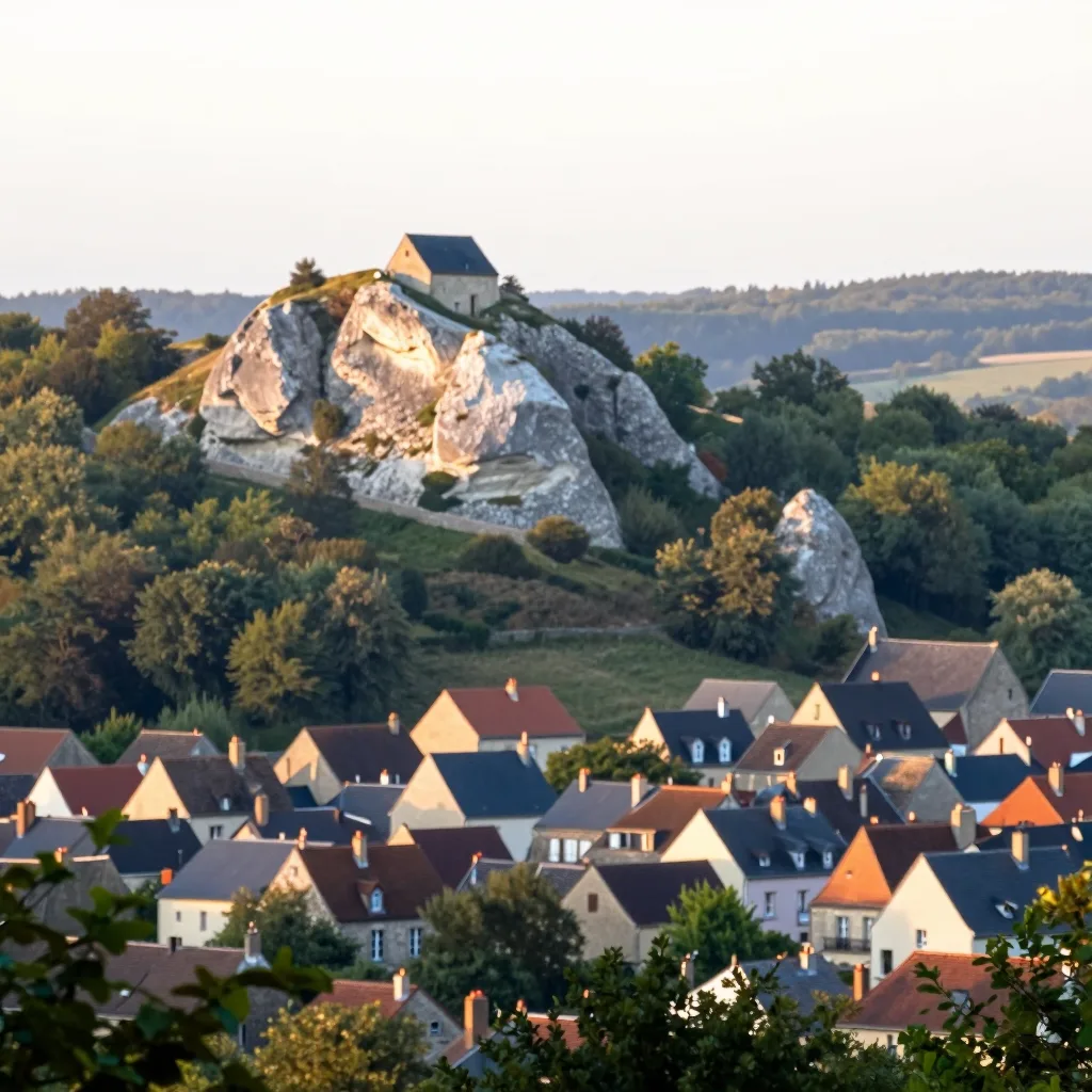
The Landscape of Ridges: Gaume Shaped by Rock
The plateau around Torgny, Latour or Sommethonne isn’t revealed without a climb. You need to head upwards, high enough to see a horizon cut by hedges and woodlands. Stone surfaces here and there, cut into walls, foundations or farm bases. These “limestone ridges” form a subtle but firm skyline, separating valleys towards the Semois or Chiers rivers. Their very names speak volumes: Bozel, Parette, even the hill where Orval Abbey stands. A geography unlike any other in Wallonia.
This stone — Jurassic limestone over 150 million years old — appears in plates, banks, sometimes in scree where wild thyme and blackthorn bushes grow. Villages cling to it like shellfish to rock: Torgny perched on its mound, Latour at the entrance of the Semois valley, Bozel away from cereal plains. Here, there are no mountains, but gentle slopes, where one breathes deeply as if walking on an older world.
Following the Paths: Between Memory and Solitude
To explore these curves, there are no grand trails, but country paths that zigzag, climb and descend around the enclosed plots. Walk them on foot, following tracks worn by old plow horse hooves or shaded by centuries-old oak and ash trees. The waymarks are scarce, yet intuition guides: in Gaume, you know a viewpoint hides behind each rise, a lonely farm, an ivy-covered old wall.
In Parette, the path leading to the woods of the same name opens up, offering, on clear days, views over Ruette plateau and further away, the first hills of Lorraine. Topographic maps show a surprisingly rugged terrain with moderate elevation changes that surprise visitors used to Gaume’s reputation for flatness. These gentle yet relentless climbs surprise hikers: a half-collapsed stone windmill, a pond where gadwalls dabble, meadows grazed by local hardy cattle breeds.
Living on the Ridges: Water, Stone, Fire
These limestone plateaus, often dry in summer, have shaped a way of life where water is precious. Springs are rare, almost sacred, and household wells dug deep into rock. In Latour, the district called “du Caillou” takes its name from both the stone cropping out at surface and from these hidden water reserves. Old hand pumps, still visible here and there, tell of this economy of scarcity.
Up here, houses have thick walls, windows facing south to catch light even in winter. Roofs of tiles or stone slabs, sometimes thatched, follow the slope to resist dominant winds. And when autumn comes, sometimes evenings see mist lingering in lowlands while oak treetops keep golden light until nightfall.
Listening to Gaume’s Ridges
Listening to these plateaus also means letting the last keepers of these places speak. The old farmer from Bozel, asked about an abandoned field, often answers with a Gaume toponym: “ch’camp à l’Tch’val d’Gille”, “la prairie di l’Rescapée”. These words aren’t on any map but resonate like a shared memory.
And sometimes, when the wind dies and the stone walls give back their heat, you might hear — if you listen — the whisper of wheat in the valley below, a red kite circling above Sommethonne, or close by, the hum of bees in the scattered flowering hedges. Signs that life here has never truly left the limestone ridges.
Want to discover the Gaume in person?
Six characterful houses, hot tub, walled garden — minutes from the sites we write about.
See the houses